
The Sanctuary of Soviore above Monterosso
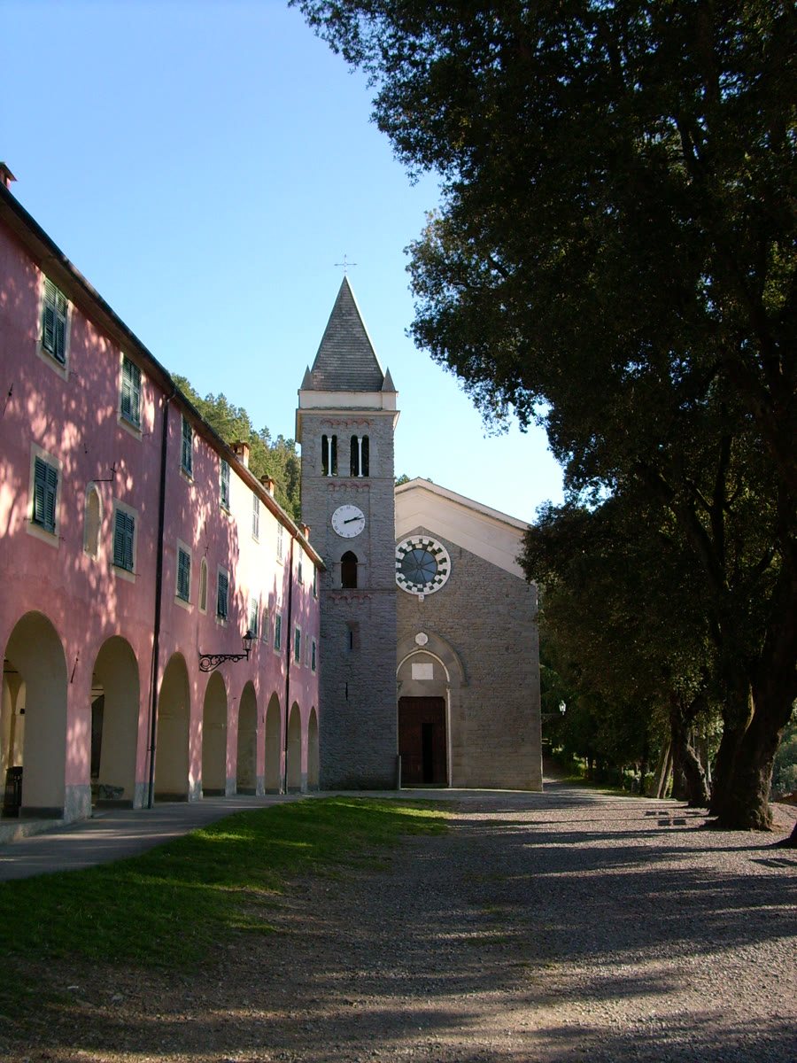
Above Monterosso, amid cypress and holm oak trees, lies the Santuario di Nostra Signora di Soviore. The sanctuary brings together a long religious history and the terraced landscape of the Cinque Terre. Historic trail 509 climbs from Monterosso through the hillsides; at the top, a peaceful sacred site awaits, its group of buildings standing out from the densely built coastal villages. A visit can therefore be planned as a hike in its own right and as a cultural addition to a stay on the coast.
A sanctuary with a centuries-old pilgrimage tradition
Soviore is mentioned in a document from 1225 and is considered Liguria’s oldest sanctuary. During the plague of 1348, the church was expanded to provide shelter for pilgrims. Its position above the coast made it a destination for faith and fellowship for many centuries. Religious festivals still mark the calendar: the Feast of the Finding is celebrated on July 7, and the Feast of the Sanctuary on August 15. The centuries-old bond between the site and the pilgrimage route can also be felt along the old ascent.
Inside, ex-voto offerings preserve memories of personal vows and gratitude. Among the artistic treasures are a historic Agati organ and a wooden Madonna figure of northern European origin, dating from the 15th century. Cypress and holm oak trees frame the buildings, giving the forecourt a quiet, woodland atmosphere. For comparison with other religious destinations in the region, see the overview of pilgrimage churches in Liguria. The cultural landscape of the Cinque Terre explains how the paths, terraces and settlements are interconnected.
Along historic trail 509 from Monterosso
The climb begins near Torre Aurora and first follows Via Roma to an old stone staircase. The path crosses hillsides with olive terraces and lemon groves. Today, some sections follow farm tracks, in places with a paved surface; elsewhere, the route once again takes on the character of a historic mule track. A small wayside shrine with a wrought-iron cross recalls the route’s use for the Via Crucis on Good Friday. Along the way, it becomes clear how the steep hillsides were made suitable for agriculture with walls and terraces.
The national park’s official route map gives the trail a length of 2.467 kilometres, an elevation gain of 468 metres, a difficulty rating of E, and an estimated walking time of 1 hour 45 minutes uphill and about 1 hour downhill. This is a steep hiking route that requires sure-footedness and an appropriate level of fitness. Weather, trail conditions and your own fitness on the day should all be taken into account when planning the hike; choose another outing if conditions are unfavorable. The official map and route information for trail 509 provide a detailed overview of the route.
Terraced landscapes and travel planning
The dry-stone walls along the trail both support the terraces and form part of the landscape. On September 3, 2026, the national park reported that it had restored around 130 linear metres of walling, covering an area of approximately 350 square metres, on the Balanello section, using traditional techniques. This skilled work helps preserve the terraced landscape and the historic route.
If you would like to combine a hike with a visit to the coast, compare Monterosso with the other villages in the Cinque Terre overview. Accommodation options can be found in the Monterosso al Mare accommodation search. The train connections in Liguria are also useful for traveling to and from the area without a car. The route climbs significantly from the coastal village and should be planned as a hike, allowing enough time to complete it.
