
Camogli–San Rocco–Punta Chiappa
This hike connects Camogli railway station with the viewpoint at San Rocco and the rocky headland of Punta Chiappa. It is not a flat coastal promenade: the first section climbs about 200 metres via a long creuza with steps, while the second descends from San Rocco back to the sea. If you want to walk only part of the route, you can make San Rocco your destination and enjoy the views across the Golfo Paradiso. Continuing to Punta Chiappa makes for a longer day and involves a steep climb back up. For a comparison with shorter coastal walks, see the general overview of active holidays in Liguria.
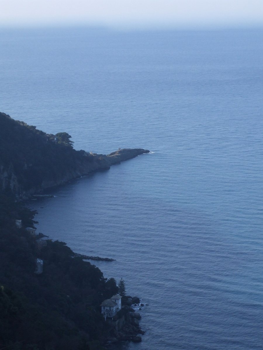
From the railway station to San Rocco
Start at Camogli railway station and follow the FIE markings via Via XX Settembre and Viale Nicolò Cuneo to the Torrente Gentile. After walking alongside the stream and crossing the bridge, you reach Via San Rocco. The park lists the route as 1.7 kilometres, with a one-way walking time of 45 to 60 minutes, an ascent of about 200 metres and a difficulty rating of E. The steps climb between houses and cultivated terraces; along the way, paved sections alternate with concrete steps. At the top, San Rocco stands on a cliff more than 200 metres above sea level. From the square by the church, on a clear day you can see across the Golfo Paradiso and along the coast towards Genoa.
Continuing to Punta Chiappa
From the square in San Rocco, the route initially follows the road towards Mortola, then descends a staircase to the Romanesque church of San Nicolò di Capodimonte. The park lists the San Rocco–Punta Chiappa section as 2.1 kilometres, with a descent of around 220 metres; it is rated T, for tourist hikers. Beyond San Nicolò, the path divides: one variant is somewhat more challenging, while the other descent leads to Porto Pidocchio, where there is a boat landing, and continues via a steep staircase and a gentler coastal path to the headland. The landing may offer a boat trip back to Camogli if a service is running that day.
On 28 July 2026, the municipality revoked the temporary pedestrian closure in the Via San Nicolò area. From Camogli, first hike uphill to San Rocco, then continue via San Nicolò and Porto Pidocchio to Punta Chiappa. The landing at Porto Pidocchio offers the option of returning by boat if a service to Camogli is running that day; without a boat, the return route climbs steeply back up to San Rocco and then descends to Camogli. The coastal railway makes it easier to get to the station, while the driving information is useful when travelling to Ruta or San Rocco by car.
Pace, weather and accommodation
Together, the two official sections cover 3.8 kilometres one way; with the steep return to Camogli, breaks and a visit to the town, this becomes a longer hiking day. The steps are particularly hard on the knees and calves when descending. Steps and rocky sections can be slippery after rain; the severe weather guidance for Liguria explains regional alerts. If you want a base with rail connections, you can use the accommodation planning guide for the Ligurian coast. Whether you return by train or boat will help determine whether staying in Camogli or near another Riviera station fits your day better.
