
Hiking in Liguria: Explore the Coast and Mountains on Foot
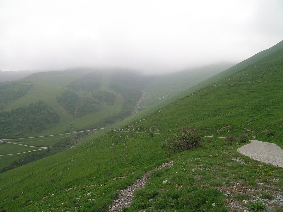
For a day hike by the sea, the trails between the villages of the Cinque Terre or the short but steep routes around Monte di Portofino are ideal. If you’re looking for elevation gain and longer stages, you’ll find them in the Ligurian Apennines and the Ligurian Alps. Distance alone isn’t the only factor to consider: coastal paths have plenty of steps and rocky descents, while fog on the ridgelines can make navigation difficult. The available ideas for an active holiday in Liguria put hiking in the context of other outdoor activities.
Coast: short distances, lots of steps
In places, the Sentiero Verde Azzurro in the Cinque Terre runs high above the sea through vineyard terraces, olive groves and steep slopes. The official individual stages are more challenging than their short distances might suggest: Corniglia–Vernazza is 4.137 kilometres long, with 269 metres of elevation gain, and is rated EE, for experienced hikers. In Camogli, the path climbs about 200 metres from the station to San Rocco over 1.7 kilometres. Allow time for breaks and the descent rather than simply adding up several sections on a map. For coastal views, the terraced landscapes of the Cinque Terre also provide useful regional context.
A shorter, easier coastal walk is the Via dell’Amore between Riomaggiore and Manarola: 1.112 kilometres, taking about 25 minutes according to the park, with entry currently by reserved time slot and in one direction only. This is a walking path with regulated access, not an alternative to a longer hiking stage. For the classic, more challenging route through the villages, it’s important to check the latest trail updates: on 14 November 2026, the national park reported that Monterosso–Vernazza had reopened; Vernazza–Corniglia was open, but extra care was needed at a section where the downhill-side wall had been damaged. The coastal railway makes it easier to combine individual sections into day hikes.
High-altitude trails and longer stages
The Alta Via dei Monti Liguri runs for around 400 kilometres along the mountain ridge, from the Ligurian Alps area to Ceparana. You can choose individual sections. In Beigua Park, the Giovo–Pratorotondo stage takes 3.5 hours, involves 800 metres of elevation gain and is rated E, meaning suitable for hikers; it’s a full day in the mountains, not just a short walk to a viewpoint. Other high-altitude routes run near Monte Saccarello and along the Sentiero degli Alpini in the western Ligurian Alps. For more on these areas, see the pages on the Ligurian Apennines and the Ligurian Alps.
If you’re planning to hike for several days, plan your stage endpoints and overnight stays together: the high-altitude route doesn’t loop back to its starting point. On the coast, by contrast, you can often stay in one place and use the train to reach different trailheads. The guide to planning accommodation in Liguria can help you choose a base based on the stretch of coast and your transport options. For mountain hikes, good visibility, suitable footwear, enough water and a realistic pace for the specific stage are essential. After heavy rain or a weather warning, trails may be closed or rerouted in places; if so, follow the advice on severe weather and warning levels.
To make an initial choice, one simple question is enough: would you prefer an easily accessible coastal section with a train connection, a steep climb for the day, or several stages in the mountains? On the coast, you can often keep the same accommodation base; on the Alta Via, the stage destination and overnight stay need to be planned together. That way, you’re choosing not just a scenic destination, but a day’s itinerary that also takes return travel, elevation gain and breaks into account.

