
Alta Via dei Monti Liguri: Stages and where to start
The Alta Via dei Monti Liguri follows the ridge between the Mediterranean and the Po Valley: the region describes it as a route of around 400 kilometres, running from the Maritime Alps to Ceparana. This means you experience Liguria not as a coastal walk, but as a succession of ridges, woodland and pastures, with views on both sides of the watershed. You can walk just one stage or plan a multi-day hike. The Beigua Park is a good place to start, as it documents three clearly named consecutive stages. The overview of active holidays in Liguria puts this mountain route in context alongside the coastal trails.
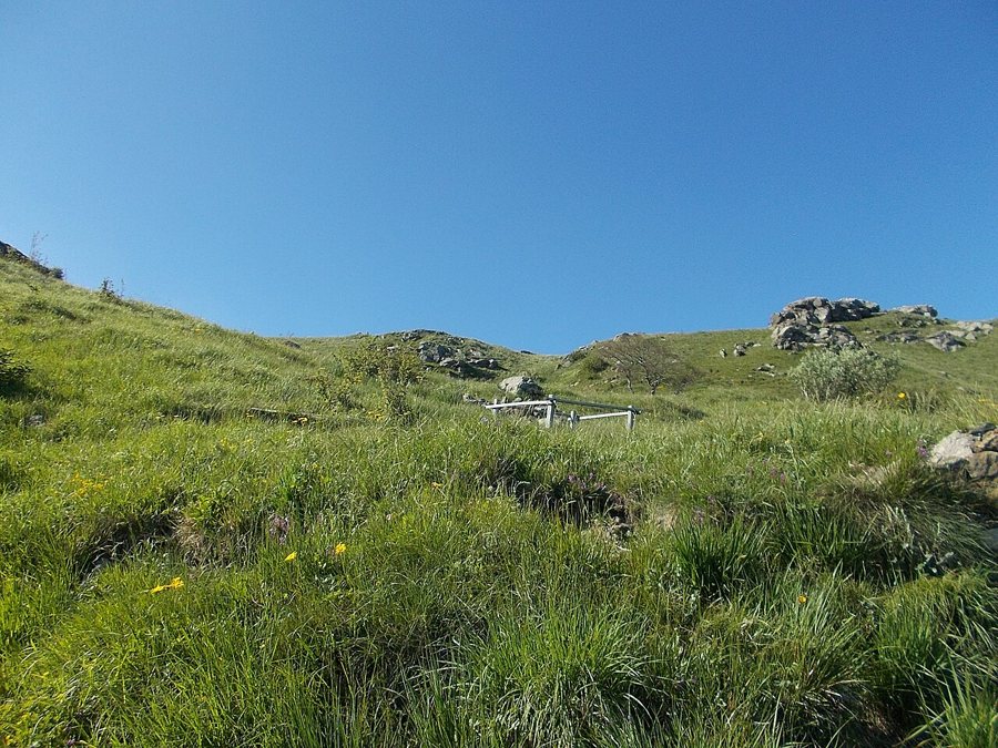
A specific introductory stage in Beigua Park
Stage 19 runs from Giovo, near Sassello, to Pratorotondo in the municipality of Cogoleto. The park gives a one-way duration of 3 hours 30 minutes and an elevation gain of 800 metres; it is graded E, or escursionistico (hiking). This is a demanding climb for a day hike, so you should be sure-footed and have a suitable level of fitness. The stage crosses Beigua Park along the main ridge. The park also lists the connections from Pratorotondo to Passo del Faiallo and onwards to Passo del Turchino as stages 20 and 21. You can therefore extend the one-day outing if the return journey and overnight stays work for your route.
For a day trip, walk from Giovo to Pratorotondo and return along the same route. The one-way stage is listed as 3 hours 30 minutes with 800 metres of elevation gain; as a planning guide, allow around seven hours of walking time for the return trip. Add time for breaks and getting to the trailhead. The return makes this a long hiking day, with the climb repeated, rather than a short point-to-point walk. The Alta Via is a ridge route, not a railway or a circular trail; stages 20 and 21 continue the route from Pratorotondo via Passo del Faiallo to Passo del Turchino. Crossing the whole route is a multi-day undertaking that requires you to choose your destination and arrange onward transport in advance. The Ligurian Apennines and the Maritime Alps offer other landscapes along Liguria’s mountain ridge.
Multi-day hiking, navigation and weather
For a full crossing, first match your daily stages to the places where you can actually stay overnight. The route follows mountain ridges, and trails, road connections and supplies are not equally available on every stage. In Beigua, the park identifies fog on the heights as a particular navigation hazard. Choose a section whose length, elevation gain, descent and exit point are all manageable, and do not plan to cross a ridge in poor visibility. The pages on Monte Saccarello and the Sentiero degli Alpini describe other independent mountain destinations in western Liguria, but they are not alternative stages of the Beigua section.
For a multi-day hike, make accommodation part of your stage planning from the outset. Along the Alta Via, your base changes as the route follows the ridge; a fixed base on the coast is better suited to individual day trips than to a point-to-point crossing. The guide to planning accommodation in Liguria can help you choose between staying in one base and booking several overnight stops. Fog, wind and thunderstorms can significantly change the demands of hiking on exposed heights. The severe weather advice for Liguria explains how to interpret weather warnings; if a warning is in effect, plan your hike according to the official situation report and local closures.
