
Sentiero degli Alpini: History and Landscape
A rocky trail with a military history
The Sentiero degli Alpini runs through the mountain landscape of the municipality of Pigna, between Monte Pietravecchia (2,038 metres) and Monte Toraggio (1,972 metres), two prominent peaks in the Ligurian Alps. The historic trail was cut into the rock between 1936 and 1938. Its route and some exposed sections bear witness to its military use in a border mountain range whose paths and ridgelines held strategic importance. The mountain area is part of the Parco Naturale Regionale delle Alpi Liguri; Colle della Melosa is a starting point in the mountains above Pigna. Choose suitable accommodation in Liguria based on your starting point in the western uplands.
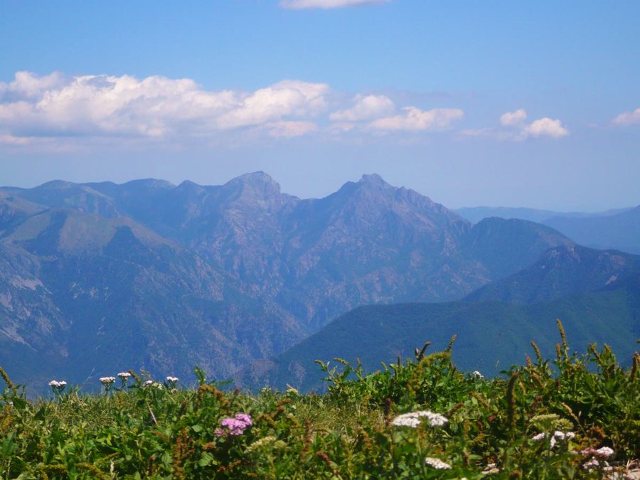 Pietravecchia vom Ventabren. Santiago PUIG VILADO…, CC BY-SA 3.0; verkleinert.
Photo: Santiago PUIG VILADO…
The geology gives the landscape its distinctive character: pale limestone cliffs, steep slopes and karst formations shape the peaks and ridges. At higher elevations, Mediterranean plants meet alpine species that reached the region during the ice ages. This combination of habitats makes the mountain area botanically remarkable. The fragile rock and narrow, exposed sections also explain why interventions and use of this historic trail must be treated with care.
Check for current closures
The Fontana Itala–Gola dell’Incisa section of the Sentiero degli Alpini is closed. The municipality of Pigna continues to enforce Ordinance No. 547 of 29 October 2020, which prohibits passage on this section on foot or by other means of transport. The authoritative source is the closure notice from the municipality of Pigna, last updated on 20 February 2026. As of 15 November 2026, the closure remains in force.
Safety works were carried out between Passo dell’Incisa and Fontana Itala in 2023 and 2024. For planning a trip in the region, places and landscapes in the Province of Imperia and the overview of active holidays in Liguria may be helpful. Colle di Tenda separates the Maritime Alps from the Ligurian Alps.
Pigna and the cultural landscape of the Alpi Liguri
The historic trail is part of a mountain landscape shaped by people. In Pigna, stone architecture, old routes linking settlements and military installations recall the long history of human use of this border region. Villages, terraces, walls and paths grew out of the need to adapt to steep slopes and a changeable climate. Pigna lies in the Nervia valley, while Colle della Melosa marks the transition to the higher mountain country.
