
Castelvecchio di Rocca Barbena: Lanes and Castle Views
Castelvecchio di Rocca Barbena feels like one continuous climb: the village clings to the slope, its narrow lanes winding through tightly packed streets and onward to the hill crowned by the Castello dei Clavesana. This inland village lies in the Val Neva at an elevation of about 400 metres. The Castello is privately owned and remains the defining landmark above the village centre, its castle complex visible from far away. From the hill, views open out across the village and the valley slope. Castelvecchio is therefore a destination for its lanes, hillside setting and scenery—not for an interior visit to the fortress.
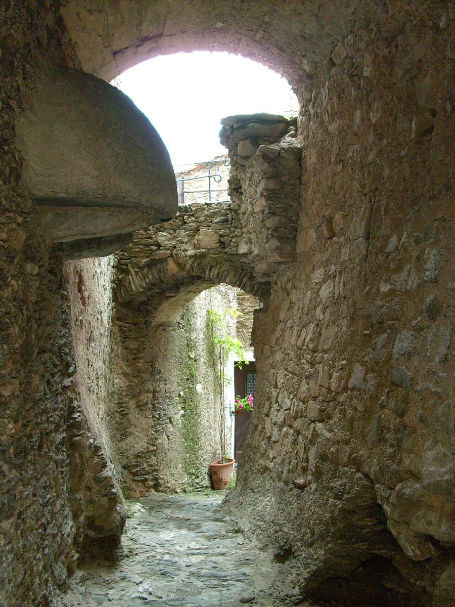
Through the lanes to the castle hill
Start in the lower part of the village and follow the winding paths uphill. The tightly packed buildings are part of the experience: lanes, small passageways and stone houses unfold step by step, rather than along a wide main street. The castle complex stands at the highest accessible point; from there, look down into the Val Neva and see why this location was historically well suited to controlling the valley route. The village came under Savoyard rule in 1623 and, after the siege of 1672, under Genoese rule. These changes of power reflect Castelvecchio’s strategic position on the valley route between the coast and the Piedmontese hinterland.
For a second view of the village, you can add the opposite hill, or the Santuario di Nostra Signora delle Grazie, to your circuit. A small, heart-shaped cemetery with a portico also lies along the way. These stops are outside the compact lane circuit and extend it into a walk around the surrounding area. Wear sturdy shoes, as the historic paths are steep and uneven; allow time for the climb instead of trying to tick off several places in quick succession.
Walk to Zuccarello
If you’re looking for a longer outing, you can plan a walk along the Sentiero di Ilaria del Carretto to Zuccarello. The trail runs south of the village through olive groves and among old trees, passing Borgata Fontana and the rural church of San Giuseppe. This lets you connect two very different historic places: hillside Castelvecchio, with its castle, and Zuccarello, with its long arcaded street beside the river. This is a hike that requires its own time plan; for a short day trip, exploring the village alone is the better choice.
Getting there and choosing a base
The village lies on the SP 582 of Colle San Bernardo, between Albenga and Garessio. The recommended motorway access is the Albenga exit on the A10; the nearest railway station is also in Albenga. The drive therefore pairs easily with a coastal base, but if you plan to visit several villages in the valley, staying overnight in the area will cut down on driving. The article on driving in Liguria offers guidance on the mountain roads. For further travel planning, the page on the coastal railway describes rail connections along the sea; the contrast between coast and hinterland is illustrated by the Riviera di Ponente. Choose your accommodation according to how you plan to balance valley walks and the coast; you’ll find more destinations in the Province of Savona.
