
Portofino Regional Park: Trails Above the Sea
Portofino Regional Park protects a distinctive promontory between the Golfo Paradiso and the Golfo del Tigullio. Unlike a flat coastal park, its terrain is shaped by steep slopes, short but significant climbs, and a mix of Mediterranean woodland, terraced farmland, and rock. For a first visit, Camogli makes a good starting point: the train station is at the foot of the slope, and the route to San Rocco leads straight into the park’s landscape.
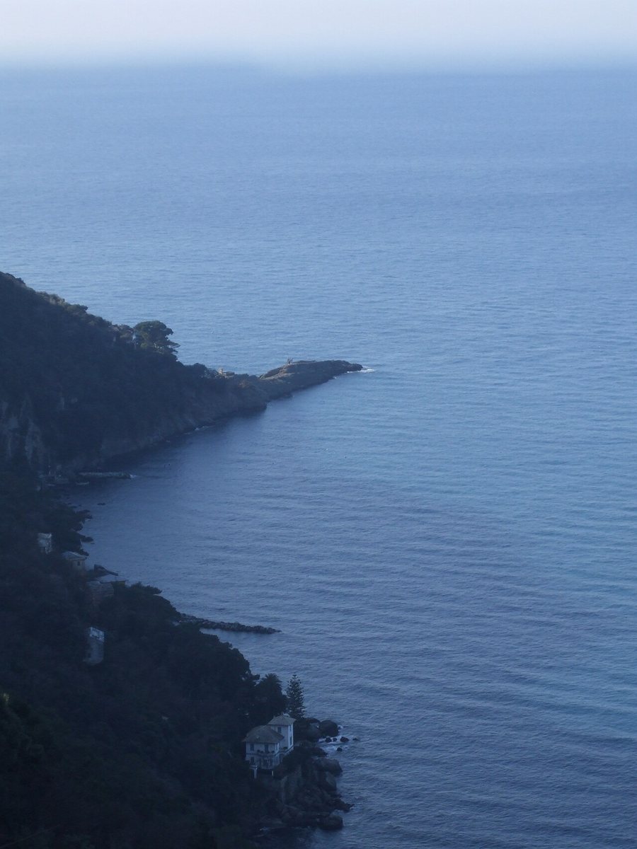
From Camogli to San Rocco
The signposted route starts at Camogli station and follows Via XX Settembre and Viale Nicolò Cuneo to Via San Rocco. From there, a long, partly concrete stairway known as a creusa climbs between houses, gardens, and dry-stone walls. The one-way route is listed as 1.7 kilometres, taking 45 to 60 minutes, with an elevation gain of about 200 metres; its difficulty rating is E. Over this short distance, the steps take you up a considerable climb. At the top, views open out over the Golfo Paradiso, the coast towards Genoa, and, on a clear day, the Alps. This short route is a high-level path through the built-up hillside. With sturdy footwear and time for breaks, you can make the viewpoint at San Rocco your destination; if you want to continue, plan a connecting route as a separate section, since the park’s paths vary in length and difficulty. The narrow coastline and durable conglomerate rock explain the promontory’s rugged shape.
San Rocco is the starting point for other park trails leading to Pietre Strette, the Batterie, and San Fruttuoso. For a short outing, return from San Rocco to Camogli along the same route. If you are planning a longer hike, plan your chosen connecting route separately, as the trails head in different directions and vary considerably in duration and difficulty.
The promontory, not just a famous harbour
The park extends beyond the town centre of Portofino. Its hinterland combines woodland, small churches, agricultural terraces, and high points. The combination of a steep coastline and inland woodland explains why trails can feel challenging even over short distances as the crow flies. On the way to San Rocco, you pass a cultural landscape shaped by terraced walls; on the rock above the village, the geological strata of the promontory come into view.
Camogli is a convenient base for travelling by train and can be combined with the Camogli–San Rocco–Punta Chiappa hiking route. The Genoa provincial guide situates the promontory between the Riviera and the city; the Liguria landscape overview helps you compare it with other coastal parks. For longer high-level trails, the article on hiking in Liguria offers further guidance.
If you are staying for several days, choose Camogli or Santa Margherita as your base, depending on which side of the park you want to explore. For train travel, see the overview of rail connections in Liguria; the accommodation guide can help you weigh proximity to the station against access to the trails. Portofino Park is especially rewarding if you want to combine a climb up the hillside with sea views and a longer nature walk.
